Geo-Solutions
Enterprise-grade spatial intelligence platforms that transform geographic data into operational precision. Territory management, demographic analysis, and spatial decision-making — engineered for organizations that operate across complex geographies.
Static territories mapped
Dynamic territories deployed
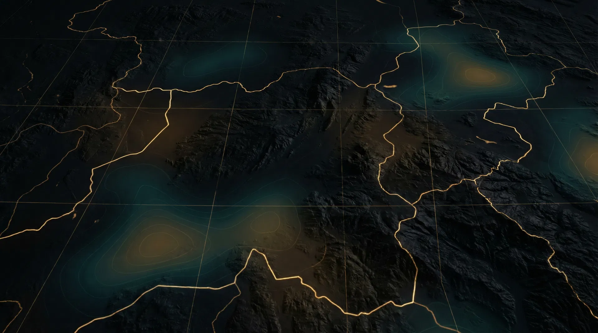
Territory Mapping & Creation
Define, visualize, and manage territories with precision — static boundaries for long-term strategy and dynamic territories that adapt to operational needs in real time.
Population Density Analysis
Geo-coded population density overlays that reveal market concentration, opportunity gaps, and deployment priorities across any geographic scope.
Demographic Intelligence
Median household income, economic indicators, and custom demographic layers integrated directly into the mapping interface for data-driven territory decisions.
Heat Mapping & ZCTA Polygons
Multi-layer heat mapping with ZIP Code Tabulation Area polygon rendering. Color-coded overlays that transform raw data into immediate visual intelligence.
Assignment & Access Control
Temporary or permanent territory assignments with private and shared view modes. Every territory, every assignment, every change — tracked and auditable.
Custom Spatial Workflows
Purpose-built spatial workflows that connect geographic intelligence to operational execution. Not a map with data on it — a decision engine with a map inside it.
Geo-Solutions, a division of Namkcid, LLC
Spatial intelligence, purpose-built.
Every Geo-Solutions deployment is engineered for a single client's geographic and operational requirements. Your territory. Your data. Your system.
Submit an Inquiry